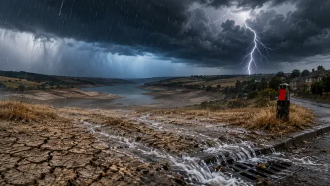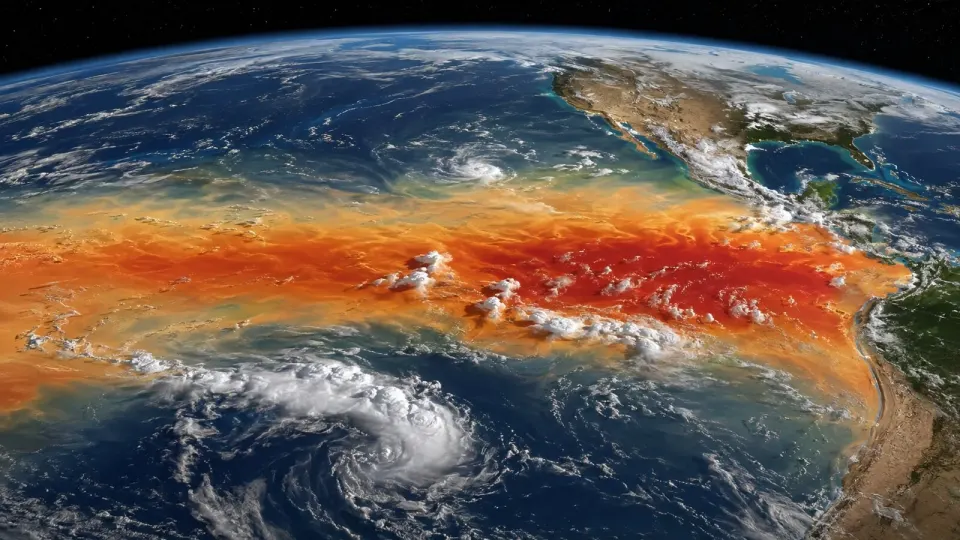
An exceptionally strong El Niño is building across the tropical Pacific, prompting warnings about heat, drought, floods and food insecurity around the world. It has also prompted Britain’s traditional September activity: asking whether we need a new coat.
The honest answer is that El Niño changes global odds; it does not write a daily UK forecast months in advance.
The World Meteorological Organization says a strong event is developing and is expected to intensify through the early autumn. Some scientists believe its scale could be extraordinary, with 2027 potentially challenging for the title of hottest year recorded globally.
That is serious. It is also not permission to publish a weather map showing Birmingham under lava.
What is El Niño?
El Niño is the warm phase of a natural cycle called the El Niño–Southern Oscillation. Trade winds across the equatorial Pacific weaken, allowing unusually warm surface water to spread eastwards. That ocean heat changes where tropical storms form and how the atmosphere moves energy around the planet.
Its counterpart, La Niña, features cooler-than-average water in the same broad region. The system tends to switch irregularly every few years.
Because the tropical Pacific is vast, a change there can nudge weather patterns thousands of miles away. Typical El Niño effects include drier conditions in parts of Australia and South-East Asia, wetter conditions in portions of the Americas and additional warmth in global average temperatures. Individual events vary.
Why is this one causing alarm?
Measurements and forecast models indicate a very large sea-surface temperature anomaly in key parts of the Pacific. The WMO’s model ensemble has indicated seasonal-average anomalies above 2.9°C in important monitoring regions, placing the event firmly in strong territory if sustained.
More aggressive forecasts suggest the central Pacific anomaly could climb further later in the year. Those projections carry uncertainty, and records depend on the dataset and period being compared. “Potentially historic” is the responsible phrase. “Weather system definitely biggest in a thousand years” is a headline wearing skis indoors.
El Niño also arrives on top of human-caused climate change. The natural cycle temporarily adds warmth to a planet whose baseline temperature is already higher. The last very strong event helped make 2016 a record-hot year; the 2023-24 event contributed to another run of global records.
Aid agencies worry about harvests and food prices. The World Food Programme has warned that tens of millions of people could face greater acute hunger if drought and flooding strike vulnerable regions. Countries do not experience the same event equally: a failed rainy season is inconvenient in a wealthy economy and catastrophic where families depend directly on a single crop.
What could it mean for the UK?
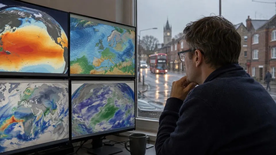
El Niño’s UK signal is weaker and less reliable than its effects around the tropical Pacific. It can influence the jet stream and has sometimes been associated with a greater chance of wetter, windier conditions early in winter and colder conditions later. But the North Atlantic Oscillation, polar vortex, Atlantic sea temperatures and ordinary weather chaos can overpower that tendency.
So this is not a forecast of a mild Christmas, a frozen February or forty named storms. Seasonal models may gradually shift the probabilities as winter approaches. Short-range forecasts and official warnings remain the tools for deciding whether to cancel a journey or put the bins somewhere less aerodynamic.
Britain may also feel El Niño through indirect routes: commodity prices, food supply, insurance losses and humanitarian emergencies abroad. A drought in one producing region and a flood in another can reach a UK supermarket long before a distinct El Niño weather pattern reaches a UK postcode.
The OutOut verdict
Pay attention, but ignore certainty merchants. A powerful El Niño is an important global climate event, and its overlap with long-term warming raises the risk of extraordinary heat and damaging rainfall shifts.
For the UK, it is one influence among several. Anyone promising the exact shape of winter from a Pacific temperature chart is selling meteorological fan fiction.
The sensible response is international preparation: protect crops and water supplies, strengthen early-warning systems and move aid before a failed harvest becomes a famine. At home, keep checking proper forecasts. And yes, own a coat. That advice survives every climate model Britain has ever produced.